Modeling Carbon Content in California’s Oak Woodlands: Testing the Efficacy of sUAS to Monitor Aboveground Biomass

Presenters:
Brendan Schultheis
California State University, Long Beach
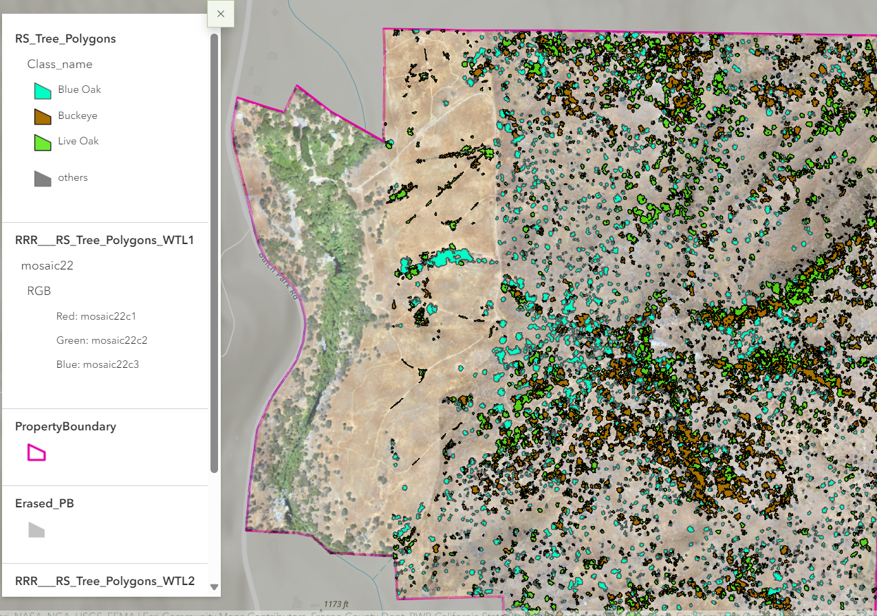
Biomass holds a critical position in comprehending and monitoring ecosystem response and its impact to the global carbon cycle. Accurate assessment and mapping of biomass is a crucial element of carbon stock quantification and climate change impact assessment. Aboveground biomass(AGB) is in a continuous state of flux, and thus contributes to atmospheric carbon fluxes to a far higher degree than below ground biomass and soil organic matter (SOM). It is necessary to monitor AGB regularly and not measure once and ignore thereafter. This research aims to quantify AGB using UAV imagery, by developing a relationship between tree canopy parameters (which are easily extracted from imagery) and DBH which is the best predictor of AGB. The analyses are largely carried out in ArcGIS Pro, including OBIA for tree species classification, individual tree crown delineation, and height extraction through generated elevation data. Preliminary analysis indicates that this methodology is viable for AGB and carbon stock quantification.